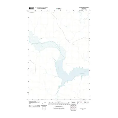
2011 Map of Mandaree SW
USGS Topo · Published 2011About this map
Lake Sakakawea dominates this landscape where the Little Missouri River flows into the vast reservoir. The map records the complex shoreline and hydrological intersections of the early 21st century, illustrating where smaller tributaries like Dry Creek and Jim Creek feed into the river valley. In the northern reaches of the quadrangle, Moccasin Creek winds through the terrain, while the sparse human infrastructure is represented by rural routes such as 103rd Ave NW. This survey provides a clear view of the water levels and geographic boundaries within the Fort Berthold area during this period, serving as a reliable point of reference for changes in the river's path and the surrounding prairie drainage systems.
Find a feature on this map
6 named features on this map. Tap any name to fly to it.
Don’t see what you’re looking for? This feature index may not catch every label — zoom into the map to look around manually.
Map Details
Editions of this 2011 Mandaree SW Map
This is the sole edition of this map. No revisions or reprints were ever made.
Other maps of this area

1953 · Watford City
USGS Topo · 1:250,000

1957 · Watford City
USGS Topo · 1:250,000

1967 · Watford City
USGS Topo · 1:250,000

1970 · Mandaree
USGS Topo · 1:24,000

1970 · Lost Bridge
USGS Topo · 1:24,000

1970 · Figure 4 Ranch
USGS Topo · 1:24,000

1970 · Dunn Center NW
USGS Topo · 1:24,000

1970 · Mandaree SW
USGS Topo · 1:24,000

1970 · Dunn Center NE
USGS Topo · 1:24,000

1970 · Mandaree SE
USGS Topo · 1:24,000