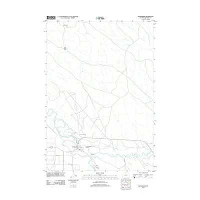
2012 Map of Manderson
USGS Topo · Published 2012About this map
Manderson sits at the confluence of the Nowood River and the Bighorn River, serving as a central point in this northern Wyoming landscape. The map highlights a complex system of water management essential to the region, including the Harmony Ditch and Avent Ditch, which parallel the riverbanks to support local agriculture. The terrain to the north is marked by drainage features such as Dead Horse Gulch and Schoolhouse Gulch, while industrial activity is evident in the sprawling Torchlight Dome Oil Field and the Manderson Oil Field. Transportation and local infrastructure are detailed through a grid of rural routes like Co Rd 30 and Lane 50, while the Manderson Cem stands south of the main settlement. This 2012 survey illustrates the enduring intersection of river-bottom farming and energy extraction that characterizes Big Horn County.
Find a feature on this map
21 named features on this map. Tap any name to fly to it.
Don’t see what you’re looking for? This feature index may not catch every label — zoom into the map to look around manually.
Map Details
Editions of this 2012 Manderson Map
This is the sole edition of this map. No revisions or reprints were ever made.
Other maps of this area

1951 · Schuster Flats NE
USGS Topo · 1:24,000

1955 · Cody
USGS Topo · 1:250,000

1955 · Sheridan
USGS Topo · 1:250,000

1958 · Cody
USGS Topo · 1:250,000

1958 · Sheridan
USGS Topo · 1:250,000

1960 · Manderson
USGS Topo · 1:24,000

1960 · Manderson NE
USGS Topo · 1:24,000

1960 · Manderson SE
USGS Topo · 1:24,000

1960 · Wild Horse Flats
USGS Topo · 1:24,000

1962 · Sheridan
USGS Topo · 1:250,000