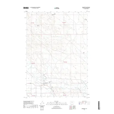
2017 Map of Manderson
USGS Topo · Published 2017About this map
Manderson sits at a significant hydrological juncture where the Nowood River meets the Bighorn River, a landscape defined by its irrigation infrastructure and high-desert drainages. The map reveals a complex water management system essential to the region's agricultural viability, featuring the Big Horn Canal, Harmony Ditch, and Avent Ditch. These man-made channels contrast with the natural erosion patterns of the surrounding terrain, which is carved by features such as Dead Horse Gulch, Coyote Gulch, and Wild Horse Draw.
Find a feature on this map
29 named features on this map. Tap any name to fly to it.
Don’t see what you’re looking for? This feature index may not catch every label — zoom into the map to look around manually.
Map Details
Editions of this 2017 Manderson Map
This is the sole edition of this map. No revisions or reprints were ever made.
Other maps of this area

1951 · Schuster Flats NE
USGS Topo · 1:24,000

1955 · Cody
USGS Topo · 1:250,000

1955 · Sheridan
USGS Topo · 1:250,000

1958 · Cody
USGS Topo · 1:250,000

1958 · Sheridan
USGS Topo · 1:250,000

1960 · Manderson
USGS Topo · 1:24,000

1960 · Manderson NE
USGS Topo · 1:24,000

1960 · Manderson SE
USGS Topo · 1:24,000

1960 · Wild Horse Flats
USGS Topo · 1:24,000

1962 · Sheridan
USGS Topo · 1:250,000