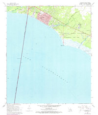
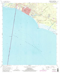
1968 Map of Mandeville
USGS Topo · Published 1973About this map
Mandeville sits at the northern terminus of the Lake Pontchartrain Causeway (Toll) during a period of significant coastal development. The street grid of the town is clearly defined by named thoroughfares like Florida St, Lafitte St, and Marigny St, centering on local institutions such as Our Lady of the Lake Sch and the Rosenwald Sch. To the east, the landscape transitions into the expansive Fontainebleau State Park and a State Game Preserve, where the marshy shoreline is carved by Bayou Castine and Bayou Cane. These waterways, including Bayou Chinchuba near Lewisburg, highlight the area's reliance on the lake for transport and recreation, evidenced by the Small Craft Passage and various picnic areas. The presence of the Southeast Louisiana Hospital and multiple sewage disposal facilities indicates the growing infrastructure required to support this Northshore community in the late 1960s.
Find a feature on this map
38 named features on this map. Tap any name to fly to it.
Don’t see what you’re looking for? This feature index may not catch every label — zoom into the map to look around manually.
Map Details
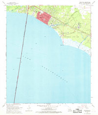
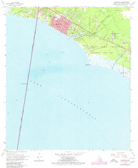
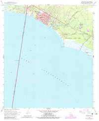
Editions of this 1968 Mandeville Map
5 editions found
Other maps of this area

1891 · Spanish Fort
USGS Topo · 1:62,500

1892 · Chef Menteur
USGS Topo · 1:62,500

1935 · Slidell
USGS Topo · 1:62,500

1935 · Covington
USGS Topo · 1:62,500

1936 · South Point
USGS Topo · 1:31,680

1936 · Chef Menteur
USGS Topo · 1:62,500

1936 · Spanish Fort
USGS Topo · 1:62,500

1939 · Slidell
USGS Topo · 1:62,500

1939 · Covington
USGS Topo · 1:62,500

1950 · Slidell
USGS Topo · 1:62,500