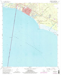
1968 Map of Mandeville
USGS Topo · Published 1984About this map
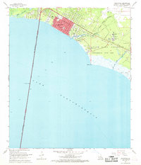
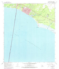
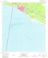
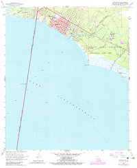
Mandeville and Lewisburg anchor the northern shore of Lake Pontchartrain in this late 1960s survey, updated with late 1970s revisions. The shoreline is defined by the massive Lake Pontchartrain Causeway (Toll) stretching south across the water, while the eastern coast is dominated by the expansive Fontainebleau State Park and the adjacent State Game Preserve.
Find a feature on this map
24 named features on this map. Tap any name to fly to it.
Don’t see what you’re looking for? This feature index may not catch every label — zoom into the map to look around manually.
Map Details
Editions of this 1968 Mandeville Map
5 editions found
Other maps of this area

1891 · Spanish Fort
USGS Topo · 1:62,500

1892 · Chef Menteur
USGS Topo · 1:62,500

1935 · Slidell
USGS Topo · 1:62,500

1935 · Covington
USGS Topo · 1:62,500

1936 · South Point
USGS Topo · 1:31,680

1936 · Chef Menteur
USGS Topo · 1:62,500

1936 · Spanish Fort
USGS Topo · 1:62,500

1939 · Slidell
USGS Topo · 1:62,500

1939 · Covington
USGS Topo · 1:62,500

1950 · Slidell
USGS Topo · 1:62,500