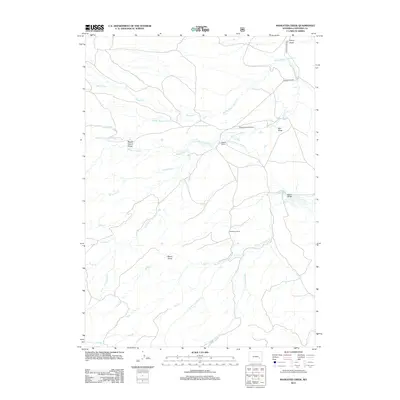
2012 Map of Maneater Creek
USGS Topo · Published 2012About this map
Wagon Hound Cr and its many tributaries carve through this high-plains landscape in Converse County, creating distinctive landmarks like Wagon Hound Gorge. In the early 21st century, the area remains defined by cattle ranching and water management, evidenced by the Raeber Ranch and Middleton Ranch, as well as several irrigation projects including the George Nagle Ditch and Wagon Hound Ditch Number 3. The reliance on local drainages such as Maneater Cr and W Fork La Bonte Cr illustrates the vital role of water rights in this semi-arid region. Remote aviation access is provided by the Wagonhound Airport, while the network of unpaved routes like Poison Lake Rd and Wagon Hound Rd connects the disparate ranching operations and drainage draws, such as Meehl Draw and Red Draw.
Find a feature on this map
27 named features on this map. Tap any name to fly to it.
Don’t see what you’re looking for? This feature index may not catch every label — zoom into the map to look around manually.
Map Details
Editions of this 2012 Maneater Creek Map
This is the sole edition of this map. No revisions or reprints were ever made.
Other maps of this area

1943 · Esterbrook
USGS Topo · 1:62,500

1945 · Esterbrook
USGS Topo · 1:62,500

1949 · Poison Lake
USGS Topo · 1:24,000

1949 · Chalk Buttes
USGS Topo · 1:24,000

1950 · Poison Lake
USGS Topo · 1:24,000
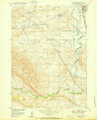
1950 · Chalk Buttes
USGS Topo · 1:24,000

1954 · Torrington
USGS Topo · 1:250,000

1958 · Torrington
USGS Topo · 1:250,000

1964 · School Section Mountain
USGS Topo · 1:24,000
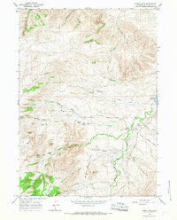
1964 · Hermit Rock
USGS Topo · 1:24,000