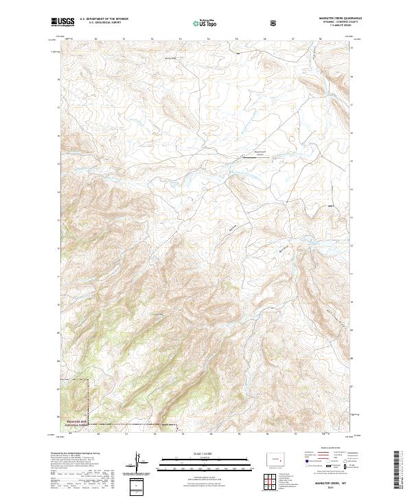
2021 Map of Maneater Creek
USGS Topo · Published 2021About this map
The Medicine Bow National Forest occupies the southwestern corner of this Converse County map, where the high-altitude terrain transitions into a complex drainage system. This high-country landscape is defined by its water management history, evidenced by the George Nagle Ditch and Wagon Hound Ditch Number 3, which diverted local flows to support the region's ranching economy.
Find a feature on this map
35 named features on this map. Tap any name to fly to it.
Don’t see what you’re looking for? This feature index may not catch every label — zoom into the map to look around manually.
Map Details
Editions of this 2021 Maneater Creek Map
This is the sole edition of this map. No revisions or reprints were ever made.
Other maps of this area

1943 · Esterbrook
USGS Topo · 1:62,500

1945 · Esterbrook
USGS Topo · 1:62,500

1949 · Poison Lake
USGS Topo · 1:24,000

1949 · Chalk Buttes
USGS Topo · 1:24,000

1950 · Poison Lake
USGS Topo · 1:24,000
1950 · Chalk Buttes
USGS Topo · 1:24,000

1954 · Torrington
USGS Topo · 1:250,000

1958 · Torrington
USGS Topo · 1:250,000

1964 · School Section Mountain
USGS Topo · 1:24,000
1964 · Hermit Rock
USGS Topo · 1:24,000