
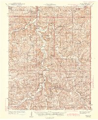
1943 Map of Manes
USGS Topo · Published 1943About this map
Latham Mill and the winding Gasconade River anchor this topographic study of the Missouri Ozarks during the early 1940s. The landscape is defined by its deep drainage networks, where Roubidoux Creek, Elk Creek, and Brush Creek carve through the plateau. Small agrarian communities like Manes and Competition are connected by a web of rural roads, revealing a high density of local institutions that have since evolved.
Find a feature on this map
66 named features on this map. Tap any name to fly to it.
Don’t see what you’re looking for? This feature index may not catch every label — zoom into the map to look around manually.
Map Details
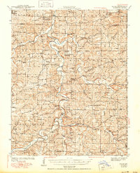
Editions of this 1943 Manes Map
3 editions found
Other maps of this area

1931 · Manes
USGS Topo · 1:48,000

1941 · Big Piney
USGS Topo · 1:62,500

1941 · Manes
USGS Topo · 1:62,500

1941 · Lebanon
USGS Topo · 1:62,500

1941 · Bado
USGS Topo · 1:62,500

1943 · Lebanon
USGS Topo · 1:62,500

1943 · Big Piney
USGS Topo · 1:62,500

1943 · Drynob
USGS Topo · 1:62,500

1943 · Bado
USGS Topo · 1:62,500

1951 · Mountain Grove North
USGS Topo · 1:24,000