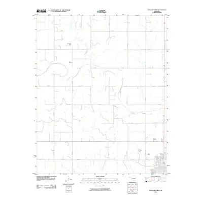
2010 Map of Mangum North
USGS Topo · Published 2010About this map
Marie Cemetery and Roselawn Cemetery anchor this Greer County landscape, providing vital markers for genealogists and local historians researching the north side of Mangum. The area is defined by a grid of rural section roads, such as e1430 RD and n1920 RD, which navigate the drainages of Haystack Creek and Fish Creek. A key piece of local infrastructure, the W C Drake Dam, sits in the northern reaches of the quadrangle, while the Mangum Municipal Airport serves as a modern hub for the community. The presence of the Greer Downs development near the city's northern edge indicates the ongoing residential and economic activity of the region during this early 21st-century period.
Find a feature on this map
22 named features on this map. Tap any name to fly to it.
Don’t see what you’re looking for? This feature index may not catch every label — zoom into the map to look around manually.
Map Details
Editions of this 2010 Mangum North Map
This is the sole edition of this map. No revisions or reprints were ever made.
Other maps of this area

1955 · Lawton
USGS Topo · 1:250,000

1955 · Clinton
USGS Topo · 1:250,000

1957 · Clinton
USGS Topo · 1:250,000

1961 · Willow
USGS Topo · 1:62,500

1961 · Retrop
USGS Topo · 1:62,500

1971 · Russell
USGS Topo · 1:24,000

1971 · Mangum North
USGS Topo · 1:24,000

1971 · Granite
USGS Topo · 1:24,000

1971 · Mangum South
USGS Topo · 1:24,000

1971 · Hester
USGS Topo · 1:24,000