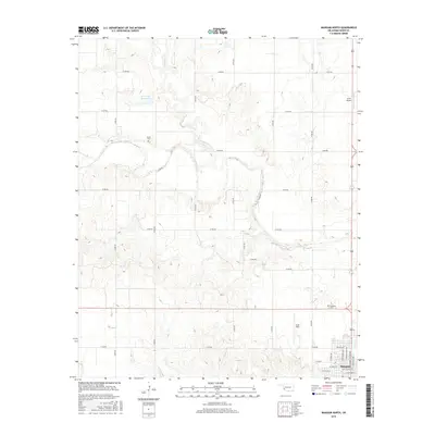
2016 Map of Mangum North
USGS Topo · Published 2016About this map
Mangum anchors the southeastern corner of this Oklahoma landscape, where the town's residential grid meets the sprawling agricultural terrain of Greer County. The area is defined by a dense network of sectional roads, such as N1890 Rd and E1400 Rd, which provide access to the vast plains and scattered water features like Haystack Cr and the W C Drake Reservoir.
Find a feature on this map
34 named features on this map. Tap any name to fly to it.
Don’t see what you’re looking for? This feature index may not catch every label — zoom into the map to look around manually.
Map Details
Editions of this 2016 Mangum North Map
This is the sole edition of this map. No revisions or reprints were ever made.
Other maps of this area

1955 · Lawton
USGS Topo · 1:250,000

1955 · Clinton
USGS Topo · 1:250,000

1957 · Clinton
USGS Topo · 1:250,000

1961 · Willow
USGS Topo · 1:62,500

1961 · Retrop
USGS Topo · 1:62,500

1971 · Russell
USGS Topo · 1:24,000

1971 · Mangum North
USGS Topo · 1:24,000

1971 · Granite
USGS Topo · 1:24,000

1971 · Mangum South
USGS Topo · 1:24,000

1971 · Hester
USGS Topo · 1:24,000