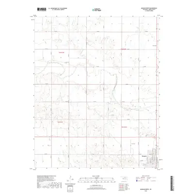
2018 Map of Mangum North
USGS Topo · Published 2018About this map
Mangum occupies the southeast corner of this Greer County landscape, showing a dense grid of streets including N Louis Tittle Ave, N Oklahoma Ave, and W Wilson St as they existed in 2018. The surrounding terrain is defined by the winding paths of Haystack Cr and Fish Cr, which cut through a landscape partitioned by an orderly network of section line roads like E1430 Rd and E1470 Rd. This modern survey illustrates the persistent agricultural and aviation character of the region.
Find a feature on this map
29 named features on this map. Tap any name to fly to it.
Don’t see what you’re looking for? This feature index may not catch every label — zoom into the map to look around manually.
Map Details
Editions of this 2018 Mangum North Map
This is the sole edition of this map. No revisions or reprints were ever made.
Other maps of this area

1955 · Lawton
USGS Topo · 1:250,000

1955 · Clinton
USGS Topo · 1:250,000

1957 · Clinton
USGS Topo · 1:250,000

1961 · Willow
USGS Topo · 1:62,500

1961 · Retrop
USGS Topo · 1:62,500

1971 · Russell
USGS Topo · 1:24,000

1971 · Mangum North
USGS Topo · 1:24,000

1971 · Granite
USGS Topo · 1:24,000

1971 · Mangum South
USGS Topo · 1:24,000

1971 · Hester
USGS Topo · 1:24,000