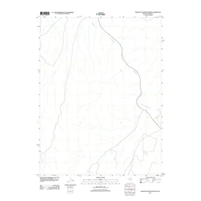
2011 Map of Manhattan Mountain NW
USGS Topo · Published 2011About this map
The Reese River winds through this arid portion of Lander County, providing a critical perennial water source in a landscape defined by dramatic elevation changes. The 2011 survey reveals a territory where the riparian corridor of the river and small water points like Willow Creek Spring dictate the patterns of movement and land use. State Route 305 serves as the primary artery through the valley, following the natural contours of the basin. The high-desert environment shown here is characterized by its isolation, with the infrastructure limited to a sparse network of local roads and 4WD tracks that branch off into the surrounding foothills of the Toiyabe and Shoshone ranges.
Find a feature on this map
2 named features on this map. Tap any name to fly to it.
Don’t see what you’re looking for? This feature index may not catch every label — zoom into the map to look around manually.
Map Details
Editions of this 2011 Manhattan Mountain NW Map
This is the sole edition of this map. No revisions or reprints were ever made.
Other maps of this area

1932 · Sonoma Range
USGS Topo · 1:250,000

1939 · Sonoma Range
USGS Topo · 1:250,000

1955 · Millett
USGS Topo · 1:250,000

1955 · Winnemucca
USGS Topo · 1:250,000

1958 · Winnemucca
USGS Topo · 1:250,000

1959 · Millett
USGS Topo · 1:250,000

1961 · The Cedars
USGS Topo · 1:62,500

1961 · Mt. Moses
USGS Topo · 1:62,500

1962 · Winnemucca
USGS Topo · 1:250,000

1969 · Manhattan Mtn
USGS Topo · 1:24,000