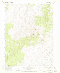
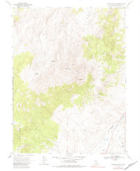
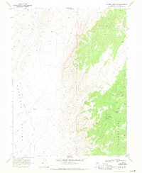
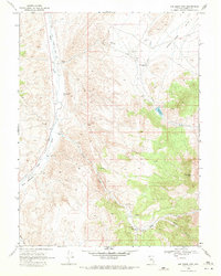
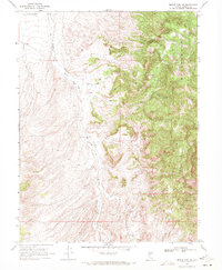
1969 Map of Manhattan Mtn
USGS Topo · Published 1971About this map
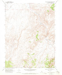
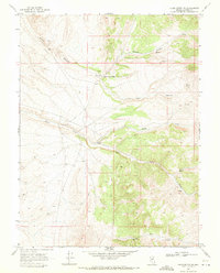
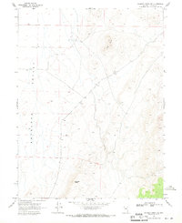
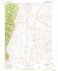
Manhattan Mountain and Ravenswood Peak dominate this Lander County landscape, marking a high-elevation environment where water sources like Steiner Spring and Meadow Spring were essential for early activity. In the lowlands, the Reese River flows through the valley, flanked by an Old Railroad Grade that speaks to the former industrial and transport networks of this Nevada corridor. The presence of a Prospect and a Gravel Pit near Duffy Meadows indicates the localized mining and extraction efforts common in the region during the mid-20th century. Topographic details reveal the complex drainage of Bernd Canyon and the surrounding peaks, while a network of Jeep Trails provides the primary access through the high country, connecting remote springs and landmark summits.
Find a feature on this map
18 named features on this map. Tap any name to fly to it.
Don’t see what you’re looking for? This feature index may not catch every label — zoom into the map to look around manually.
Map Details
Editions of this 1969 Manhattan Mtn Map
2 editions found
Other maps of this area

1955 · Millett
USGS Topo · 1:250,000

1959 · Millett
USGS Topo · 1:250,000
1969 · Gilbert Creek SE
USGS Topo · 1:24,000
1969 · Joe Eason Mtn
USGS Topo · 1:24,000
1969 · Manhattan Mtn NW
USGS Topo · 1:24,000
1969 · Vigus Butte NE
USGS Topo · 1:24,000
1969 · Gilbert Creek NE
USGS Topo · 1:24,000
1969 · Vigus Butte NW
USGS Topo · 1:24,000
1969 · Mount Airy NE
USGS Topo · 1:24,000
1969 · Manhattan Mtn NE
USGS Topo · 1:24,000