
1969 Map of Mount Airy NE
USGS Topo · Published 1971About this map
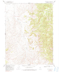
Ravenswood rise abruptly to the east of Antelope Valley, defining the high-altitude topography of this Nevada landscape. The 1969 field check reveals a region primarily organized around water access and seasonal livestock management, anchored by the White Sage Canyon Corral situated where the mountains meet the White Sage Flat. Water is the critical resource here, with Antelope Creek, White Sage Creek, and several unnamed springs and wells marking the few reliable points of transition for travelers and ranching operations.
Find a feature on this map
17 named features on this map. Tap any name to fly to it.
Don’t see what you’re looking for? This feature index may not catch every label — zoom into the map to look around manually.
Map Details
Editions of this 1969 Mount Airy NE Map
2 editions found
Other maps of this area

1955 · Millett
USGS Topo · 1:250,000

1959 · Millett
USGS Topo · 1:250,000

1969 · Manhattan Mtn
USGS Topo · 1:24,000

1969 · Gilbert Creek SE
USGS Topo · 1:24,000

1969 · Mount Airy
USGS Topo · 1:24,000

1969 · Vigus Butte
USGS Topo · 1:24,000

1969 · Gilbert Creek SW
USGS Topo · 1:24,000

1969 · Vigus Butte NW
USGS Topo · 1:24,000

1969 · Mount Airy NW
USGS Topo · 1:24,000

1969 · Mount Airy Mesa
USGS Topo · 1:24,000