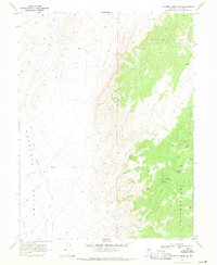
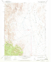
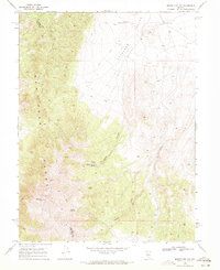
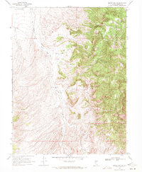
1969 Map of Gilbert Creek SE
USGS Topo · Published 1971About this map
Ravenswood and the eastern margins of Antelope Valley dominate this late-1960s landscape in central Nevada. The map documents a rugged mining and ranching geography where water sources are the primary points of interest. Notable extractive history is visible in the hills, particularly through the Queen Shaft, Pine Shaft, and the Red Bird Mine. These features, along with several wells such as East Well, indicate the persistence of industrial activity and the necessary infrastructure for survival in this arid environment. The transition from the valley floor up into the higher elevations of the Ravenswood area is marked by a network of unimproved routes, primarily labeled as Jeep Trail, connecting isolated springs like Rocky Gap Spring and Caton Spring to the broader drainage of Gilbert Creek.
Find a feature on this map
13 named features on this map. Tap any name to fly to it.
Don’t see what you’re looking for? This feature index may not catch every label — zoom into the map to look around manually.
Map Details
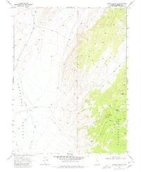
Editions of this 1969 Gilbert Creek SE Map
2 editions found
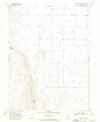
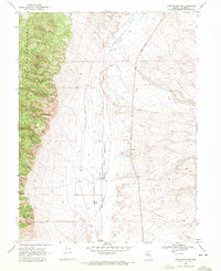
Other maps of this area

1955 · Millett
USGS Topo · 1:250,000

1959 · Millett
USGS Topo · 1:250,000
1969 · Manhattan Mtn
USGS Topo · 1:24,000
1969 · Manhattan Mtn NW
USGS Topo · 1:24,000
1969 · Gilbert Creek SW
USGS Topo · 1:24,000
1969 · Gilbert Creek NW
USGS Topo · 1:24,000
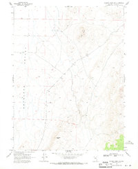
1969 · Gilbert Creek NE
USGS Topo · 1:24,000
1969 · Vigus Butte NW
USGS Topo · 1:24,000
1969 · Mount Airy NW
USGS Topo · 1:24,000
1969 · Mount Airy NE
USGS Topo · 1:24,000