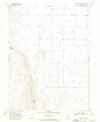
1969 Map of Gilbert Creek NW
USGS Topo · Published 1971About this map
The Augusta Mountains dominate the western portion of this high-desert landscape, creating a stark topographic contrast with the broad drainage of the Antelope Valley to the east. As documented during the late 1960s, the area is defined by its arid hydrology and sparse human infrastructure. Water management is a primary focus of the map, evidenced by the numerous instances of wells scattered across the valley floor to support livestock or seasonal operations. The natural drainage of Antelope Creek and Gilbert Creek feeds into the valley, while a network of Jeep Trails provides the only access through the foothills. Small-scale excavation sites, labeled as Borrow Pits, indicate localized material extraction, likely for the maintenance of these primitive routes. The boundary between Lander Co and Churchill Co bisects the mountain range, highlighting the jurisdictional divide in this remote part of the Great Basin.
Find a feature on this map
8 named features on this map. Tap any name to fly to it.
Don’t see what you’re looking for? This feature index may not catch every label — zoom into the map to look around manually.
Map Details
Editions of this 1969 Gilbert Creek NW Map
2 editions found
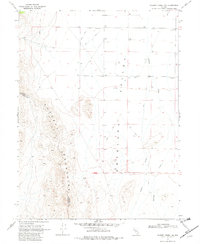
Other maps of this area

1932 · Sonoma Range
USGS Topo · 1:250,000

1939 · Sonoma Range
USGS Topo · 1:250,000

1955 · Millett
USGS Topo · 1:250,000

1955 · Winnemucca
USGS Topo · 1:250,000

1958 · Winnemucca
USGS Topo · 1:250,000

1959 · Millett
USGS Topo · 1:250,000

1961 · Cain Mountain
USGS Topo · 1:62,500

1961 · Mt. Moses
USGS Topo · 1:62,500

1962 · Winnemucca
USGS Topo · 1:250,000

1966 · Shoshone Meadows
USGS Topo · 1:62,500