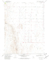
1969 Map of Gilbert Creek NW
USGS Topo · Published 1980About this map
The high peaks of the Augusta Mountains dominate the western edge of this Nevada landscape, where the Lander Co Churchill Co line follows the ridgeline of the range. To the east, the terrain drops away into the broad expanse of Antelope Valley, a region defined by its arid hydrology and sparse infrastructure in the late 1960s. The valley floor is marked by numerous groundwater sources, including Well 4980 and Well 4998, which likely served livestock or early range management.
Find a feature on this map
17 named features on this map. Tap any name to fly to it.
Don’t see what you’re looking for? This feature index may not catch every label — zoom into the map to look around manually.
Map Details
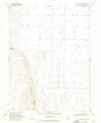
Editions of this 1969 Gilbert Creek NW Map
2 editions found
Other maps of this area

1932 · Sonoma Range
USGS Topo · 1:250,000

1939 · Sonoma Range
USGS Topo · 1:250,000

1955 · Millett
USGS Topo · 1:250,000

1955 · Winnemucca
USGS Topo · 1:250,000

1958 · Winnemucca
USGS Topo · 1:250,000

1959 · Millett
USGS Topo · 1:250,000

1961 · Cain Mountain
USGS Topo · 1:62,500

1961 · Mt. Moses
USGS Topo · 1:62,500

1962 · Winnemucca
USGS Topo · 1:250,000

1966 · Shoshone Meadows
USGS Topo · 1:62,500