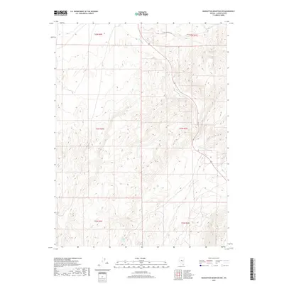
2018 Map of Manhattan Mountain NW
USGS Topo · Published 2018About this map
The Reese River winds through the high desert of Lander County, carving a narrow path across a landscape defined by sharp topographic shifts and remote land divisions. This 2018 survey illustrates the complex drainage patterns typical of the Great Basin, where seasonal water sources like Willow Creek Spring provide critical relief in an otherwise arid basin. The map area is primarily organized by the Public Land Survey System, showing several townships including t24n r43e and t23n r42e. Human presence is minimal, anchored by the long stretch of Carico Lake Valley Rd which traverses the northern reaches, serving as a primary corridor through this high-altitude terrain.
Find a feature on this map
9 named features on this map. Tap any name to fly to it.
Don’t see what you’re looking for? This feature index may not catch every label — zoom into the map to look around manually.
Map Details
Editions of this 2018 Manhattan Mountain NW Map
This is the sole edition of this map. No revisions or reprints were ever made.
Other maps of this area

1932 · Sonoma Range
USGS Topo · 1:250,000

1939 · Sonoma Range
USGS Topo · 1:250,000

1955 · Millett
USGS Topo · 1:250,000

1955 · Winnemucca
USGS Topo · 1:250,000

1958 · Winnemucca
USGS Topo · 1:250,000

1959 · Millett
USGS Topo · 1:250,000

1961 · The Cedars
USGS Topo · 1:62,500

1961 · Mt. Moses
USGS Topo · 1:62,500

1962 · Winnemucca
USGS Topo · 1:250,000

1969 · Manhattan Mtn
USGS Topo · 1:24,000