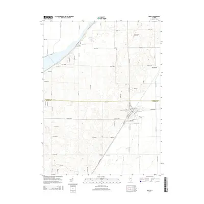
2015 Map of Manito
USGS Topo · Published 2015About this map
Manito serves as the primary hub in this central Illinois landscape, situated at the junction of several local drainage ditches and road networks. The village is surrounded by a high density of rural burial sites, including Oak Grove Cemetery, Saint Fredrick's Catholic Cem, and Meadow Lawn Cem, which provide significant anchor points for local genealogical research. This area, spanning the border of Tazewell and Mason Counties, is characterized by a complex system of artificial waterways such as Hickory Grove Ditch and N Quiver Ditch, reflecting the intensive agricultural management of the region. Small settlements like Radville, Parkland, and Union are dispersed across the grid-iron road system, while Palmer Flying Service Inc highlights the local infrastructure in the north.
Find a feature on this map
77 named features on this map. Tap any name to fly to it.
Don’t see what you’re looking for? This feature index may not catch every label — zoom into the map to look around manually.
Map Details
Editions of this 2015 Manito Map
This is the sole edition of this map. No revisions or reprints were ever made.
Other maps of this area

1905 · Peoria
USGS Topo · 1:62,500

1927 · Peoria
USGS Topo · 1:62,500

1929 · Manito
USGS Topo · 1:62,500

1930 · Glasford
USGS Topo · 1:62,500

1932 · Manito
USGS Topo · 1:62,500

1942 · Delavan
USGS Topo · 1:62,500

1948 · Glasford
USGS Topo · 1:62,500

1958 · Peoria
USGS Topo · 1:250,000

1960 · Pekin
USGS Topo · 1:24,000

1961 · Peoria
USGS Topo · 1:250,000