
1960 Map of Pekin
USGS Topo · Published 1961About this map
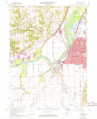
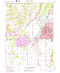
The industrial and riverine character of Pekin is defined by the broad Illinois River corridor as it looked in the early 1960s. This survey by John C. Frye and the Geological Survey Division reveals a landscape shaped by water and heavy transit, where the main channel is flanked by extensive water bodies like Worley Lake and Pekin Lake. To the west, the winding Lamarsh Creek and the Mackinaw River snake through the bottomlands near Mapleton, while the eastern bank is dominated by the grid of Pekin, featuring numerous neighborhood schools such as Roosevelt Sch and Edison Sch.
Find a feature on this map
64 named features on this map. Tap any name to fly to it.
Don’t see what you’re looking for? This feature index may not catch every label — zoom into the map to look around manually.
Map Details
Editions of this 1960 Pekin Map
3 editions found
Other maps of this area

1905 · Peoria
USGS Topo · 1:62,500

1927 · Peoria
USGS Topo · 1:62,500

1929 · Manito
USGS Topo · 1:62,500

1930 · Glasford
USGS Topo · 1:62,500

1932 · Manito
USGS Topo · 1:62,500

1942 · Delavan
USGS Topo · 1:62,500

1948 · Glasford
USGS Topo · 1:62,500

1949 · Peoria East
USGS Topo · 1:24,000

1949 · Peoria West
USGS Topo · 1:24,000

1950 · Peoria West
USGS Topo · 1:24,000