
1949 Map of Peoria East
USGS Topo · Published 1966About this map
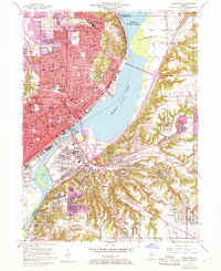
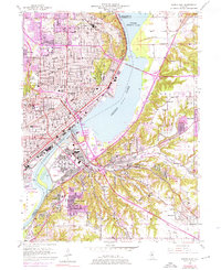
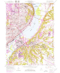
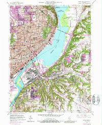
Peoria and its neighboring riverfront communities appear in this post-war landscape, defined by a dense grid of residential streets and a heavy industrial and transportation core along the Illinois River. The map illustrates the city's role as a major rail hub, featuring the Chicago Rock Island and Pacific and the Illinois Terminal railroads servicing the waterfront. Significant civic and educational institutions like Bradley University, City Hall, and Peoria Stadium are clearly marked, while across the river, East Peoria and Creve Coeur show the expansion of suburban and industrial development. The river itself is dominated by the Peoria Lake expansion, with infrastructure like the Mcclugage Bridge and the Peoria Lock and Dam highlighting the critical engineering that managed the waterway for both trade and regional connectivity.
Find a feature on this map
75 named features on this map. Tap any name to fly to it.
Don’t see what you’re looking for? This feature index may not catch every label — zoom into the map to look around manually.
Map Details
Editions of this 1949 Peoria East Map
5 editions found
Other maps of this area

1893 · Metamora
USGS Topo · 1:62,500

1893 · Dunlap
USGS Topo · 1:62,500

1898 · Dunlap
USGS Topo · 1:62,500

1905 · Peoria
USGS Topo · 1:62,500

1927 · Peoria
USGS Topo · 1:62,500

1928 · Mackinaw
USGS Topo · 1:62,500

1932 · Mackinaw
USGS Topo · 1:62,500

1932 · Dunlap
USGS Topo · 1:62,500

1933 · Dunlap
USGS Topo · 1:62,500

1937 · Metamora
USGS Topo · 1:62,500