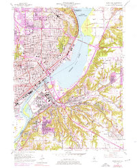
1949 Map of Peoria East
USGS Topo · Published 1976About this map
The Illinois River and its expansion into Peoria Lake form the central axis of this mid-century landscape, where industrial infrastructure and urban growth meet the steep bluffs of Peoria and East Peoria. The river is crossed by several vital links, including the Mcclugage Bridge and the Cedar St Bridge, while the Peoria and Pekin Union RR and Chicago Rock Island and Pacific RR track the water's edge. This 1949 survey, updated in the early 1970s, captures the post-war expansion of residential areas like El Vista and Highway Village.
Find a feature on this map
83 named features on this map. Tap any name to fly to it.
Don’t see what you’re looking for? This feature index may not catch every label — zoom into the map to look around manually.
Map Details
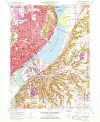
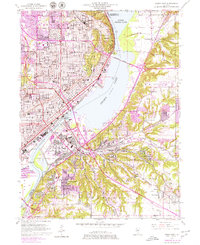
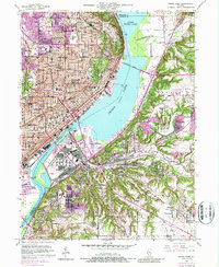
Editions of this 1949 Peoria East Map
5 editions found

Other maps of this area

1893 · Metamora
USGS Topo · 1:62,500

1893 · Dunlap
USGS Topo · 1:62,500

1898 · Dunlap
USGS Topo · 1:62,500

1905 · Peoria
USGS Topo · 1:62,500

1927 · Peoria
USGS Topo · 1:62,500

1928 · Mackinaw
USGS Topo · 1:62,500

1932 · Mackinaw
USGS Topo · 1:62,500

1932 · Dunlap
USGS Topo · 1:62,500

1933 · Dunlap
USGS Topo · 1:62,500

1937 · Metamora
USGS Topo · 1:62,500