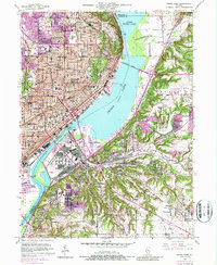
1949 Map of Peoria East
USGS Topo · Published 1987About this map
The Illinois River serves as the central artery of this region, separating the urban core of Peoria from the developing heights and industrial areas to the east. By the mid-20th century, the landscape shows a dense network of neighborhoods supported by numerous parish schools and public institutions, including Bradley University and Woodruff High School. The riverfront is a hub of infrastructure, featuring the Peoria Lock and Dam and multiple crossings like the Cedar St Bridge and McClugage Bridge.
Find a feature on this map
93 named features on this map. Tap any name to fly to it.
Don’t see what you’re looking for? This feature index may not catch every label — zoom into the map to look around manually.
Map Details
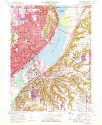
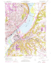
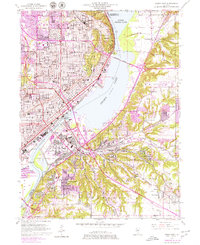
Editions of this 1949 Peoria East Map
5 editions found

Other maps of this area

1893 · Metamora
USGS Topo · 1:62,500

1893 · Dunlap
USGS Topo · 1:62,500

1898 · Dunlap
USGS Topo · 1:62,500

1905 · Peoria
USGS Topo · 1:62,500

1927 · Peoria
USGS Topo · 1:62,500

1928 · Mackinaw
USGS Topo · 1:62,500

1932 · Mackinaw
USGS Topo · 1:62,500

1932 · Dunlap
USGS Topo · 1:62,500

1933 · Dunlap
USGS Topo · 1:62,500

1937 · Metamora
USGS Topo · 1:62,500