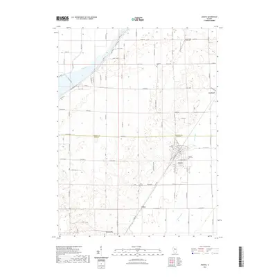
2021 Map of Manito
USGS Topo · Published 2021About this map
Manito serves as the primary hub of this Central Illinois landscape, situated at the intersection of local routes like Co Hwy 16 and Co Rd 750 E. The village's history is preserved through its clustered landmarks, including the Oak Grove Cem and Saint Fredricks Cem on the northern edge of town, while Meadow Lawn Cem lies to the east. The surrounding agricultural flats are defined by an extensive drainage system, where the Main Ditch, Hickory Grove Ditch, and Manito Ditch cut across the county line between Tazewell Co and Mason Co.
Find a feature on this map
79 named features on this map. Tap any name to fly to it.
Don’t see what you’re looking for? This feature index may not catch every label — zoom into the map to look around manually.
Map Details
Editions of this 2021 Manito Map
This is the sole edition of this map. No revisions or reprints were ever made.
Other maps of this area

1905 · Peoria
USGS Topo · 1:62,500

1927 · Peoria
USGS Topo · 1:62,500

1929 · Manito
USGS Topo · 1:62,500

1930 · Glasford
USGS Topo · 1:62,500

1932 · Manito
USGS Topo · 1:62,500

1942 · Delavan
USGS Topo · 1:62,500

1948 · Glasford
USGS Topo · 1:62,500

1958 · Peoria
USGS Topo · 1:250,000

1960 · Pekin
USGS Topo · 1:24,000

1961 · Peoria
USGS Topo · 1:250,000