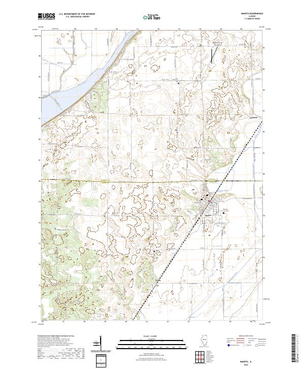
2024 Map of Manito
USGS Topo · Published 2024About this map
Manito serves as the primary hub in this corner of the Illinois River valley, situated along the county line between Tazewell Co and Mason Co. The landscape is defined by an extensive network of drainage infrastructure, including the Main Ditch, North Quiver Ditch, and Hickory Grove Ditch, which converted the natural wetlands into productive farmland. For genealogists, the map is remarkably dense with burial sites such as Oak Grove Cem, Meadow Lawn Cem, and Coon Grove Cem located near the small community of Union. The northern reaches include the Palmer Flying Service Inc airstrip, while the western edge borders the waters of Springlake. This survey captures the rural character of the region, where a grid of roads like Tobaggon Rd and Fish Hatchery Rd connects scattered farmsteads and small settlements like Parkland.
Find a feature on this map
86 named features on this map. Tap any name to fly to it.
Don’t see what you’re looking for? This feature index may not catch every label — zoom into the map to look around manually.
Map Details
Editions of this 2024 Manito Map
This is the sole edition of this map. No revisions or reprints were ever made.
Other maps of this area

1905 · Peoria
USGS Topo · 1:62,500

1927 · Peoria
USGS Topo · 1:62,500

1929 · Manito
USGS Topo · 1:62,500

1930 · Glasford
USGS Topo · 1:62,500

1932 · Manito
USGS Topo · 1:62,500

1942 · Delavan
USGS Topo · 1:62,500

1948 · Glasford
USGS Topo · 1:62,500

1958 · Peoria
USGS Topo · 1:250,000

1960 · Pekin
USGS Topo · 1:24,000

1961 · Peoria
USGS Topo · 1:250,000