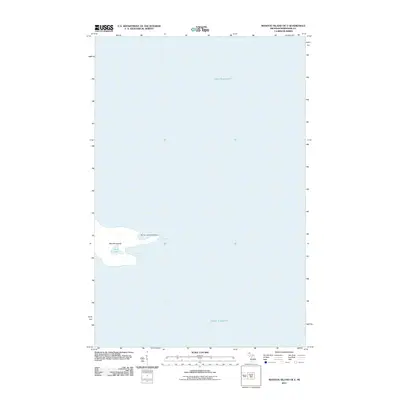
2011 Map of Manitou Island OE E
USGS Topo · Published 2011About this map
Manitou Island sits as a solitary outpost in the vast waters of Lake Superior, serving as a critical navigational waypoint at the tip of the Keweenaw Peninsula. The 2011 survey illustrates the island's unique shoreline, characterized by the indentations of Square Bay and Fishermans Bay. A central geographic feature is Perch Lake, a small body of water contained within the island's interior. The most significant historical and architectural landmark is the Manitou Island Lighthouse, situated on the eastern point to guide maritime traffic through these often-treacherous northern waters. This map primarily captures the interaction between the landform and the Great Lakes environment, focusing on the preservation of these coastal features and the functional infrastructure required for safe passage.
Find a feature on this map
6 named features on this map. Tap any name to fly to it.
Don’t see what you’re looking for? This feature index may not catch every label — zoom into the map to look around manually.
Map Details
Editions of this 2011 Manitou Island OE E Map
This is the sole edition of this map. No revisions or reprints were ever made.
Other maps of this area
1940 · Manitou Island
USGS Topo · 1:31,680
1948 · Manitou Island
USGS Topo · 1:24,000
1949 · Manitou Island
USGS Topo · 1:24,000

1958 · Hancock
USGS Topo · 1:250,000

1960 · Hancock
USGS Topo · 1:250,000

1961 · Hancock
USGS Topo · 1:250,000

1966 · Hancock
USGS Topo · 1:250,000
1985 · Copper Harbor
USGS Topo · 1:100,000
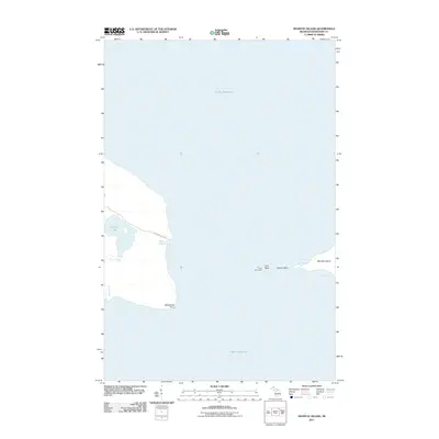
2011 · Manitou Island
USGS Topo · 1:24,000
2014 · Manitou Island
USGS Topo · 1:24,000