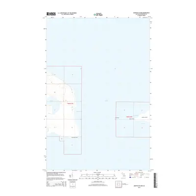
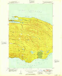
2014 Map of Manitou Island
USGS Topo · Published 2014About this map
Manitou Island and the jagged eastern extremity of the Keweenaw Peninsula define this maritime landscape in Lake Superior. This survey documents a critical navigational threshold where the mainland terminates at Keweenaw Point and gives way to the open waters of the lake. The geography is characterized by several protected coastal features, including High Rock Bay, Keystone Bay, and the separate harbors of North Bay and South Bay on the island itself.
Find a feature on this map
14 named features on this map. Tap any name to fly to it.
Don’t see what you’re looking for? This feature index may not catch every label — zoom into the map to look around manually.
Map Details
Editions of this 2014 Manitou Island Map
This is the sole edition of this map. No revisions or reprints were ever made.
Other maps of this area
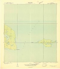
1940 · Manitou Island
USGS Topo · 1:31,680

1940 · Fort Wilkins
USGS Topo · 1:31,680

1948 · Fort Wilkins
USGS Topo · 1:24,000
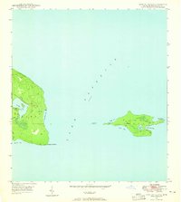
1948 · Manitou Island
USGS Topo · 1:24,000
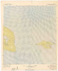
1949 · Manitou Island
USGS Topo · 1:24,000
1949 · Fort Wilkins
USGS Topo · 1:24,000

1958 · Hancock
USGS Topo · 1:250,000

1960 · Hancock
USGS Topo · 1:250,000

1961 · Hancock
USGS Topo · 1:250,000

1966 · Hancock
USGS Topo · 1:250,000