
1894 Map of Mankato
USGS Topo · Published 1894About this map
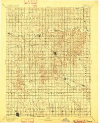
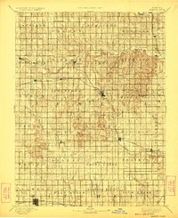
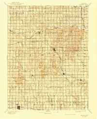
The county seat of Mankato serves as a central hub in this late nineteenth-century survey, where the developing rail network of North Central Kansas begins to define the region's economy. The Chicago Rock Island and Pacific Railway cuts westward through Ezbon, while the Missouri Pacific Railway traces the southern corridor through Glen Elder and Cawker. This period of settlement is organized into distinct townships like White Mound, Holmwood, and Vicksburg, reflecting a highly structured land distribution system typical of the era.
Find a feature on this map
63 named features on this map. Tap any name to fly to it.
Don’t see what you’re looking for? This feature index may not catch every label — zoom into the map to look around manually.
Map Details
Editions of this 1894 Mankato Map
4 editions found
Other maps of this area

1892 · Concordia
USGS Topo · 1:125,000

1892 · Minneapolis
USGS Topo · 1:125,000

1893 · Smith Center
USGS Topo · 1:125,000

1894 · Beloit
USGS Topo · 1:125,000

1896 · Osborne
USGS Topo · 1:125,000

1897 · Red Cloud
USGS Topo · 1:125,000

1898 · Superior
USGS Topo · 1:125,000

1898 · Hebron
USGS Topo · 1:125,000

1940 · Red Cloud
USGS Topo · 1:62,500

1942 · Red Cloud
USGS Topo · 1:62,500