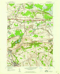
1957 Map of Manlius
USGS Topo · Published 1959About this map
Green Lakes State Park anchors this central New York landscape, preserving the unique glacial hydrology of Round Lake and Green Lake south of the rising residential corridors of the 1950s. The map illustrates a region in significant transition, where the heavy infrastructure of the New York Central Railroad and the New York State Thruway cuts across older agricultural hamlets like Fyler Settlement and Saintsville. Of particular interest to industrial historians is the trace of the Old Erie Canal, labeled here as abandoned, which mirrors the path of Pools Brook and the New York Central tracks through Kirkville. The topography shifts from the low, marshy reaches of Cicero Swamp in the north to the rising elevation of Eagle Hill in the south, while the village of Chittenango serves as a prominent eastern hub at the intersection of local routes and waterways.
Find a feature on this map
36 named features on this map. Tap any name to fly to it.
Don’t see what you’re looking for? This feature index may not catch every label — zoom into the map to look around manually.
Map Details
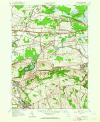
Editions of this 1957 Manlius Map
2 editions found
Other maps of this area

1895 · Chittenango
USGS Topo · 1:62,500

1895 · Syracuse
USGS Topo · 1:62,500

1897 · Cazenovia
USGS Topo · 1:62,500

1898 · Syracuse
USGS Topo · 1:62,500

1898 · Chittenango
USGS Topo · 1:62,500

1899 · Cazenovia
USGS Topo · 1:62,500

1900 · Tully
USGS Topo · 1:62,500

1902 · Chittenango
USGS Topo · 1:62,500

1938 · Syracuse East
USGS Topo · 1:24,000

1940 · Cicero
USGS Topo · 1:24,000