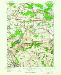
1957 Map of Manlius
USGS Topo · Published 1964About this map
Chittenango Creek and Limestone Creek define the drainage of this central New York landscape, which by the late 1950s was adapting to the presence of the New York State Thruway. The map captures a transitional infrastructure era where the New York Central Railroad remains a dominant corridor even as modernization takes hold. Evidence of earlier commerce is preserved in the Erie Canal (Abandoned), which winds across the northern half of the sheet, providing a sharp contrast to the high-speed transit of the era.
Find a feature on this map
41 named features on this map. Tap any name to fly to it.
Don’t see what you’re looking for? This feature index may not catch every label — zoom into the map to look around manually.
Map Details
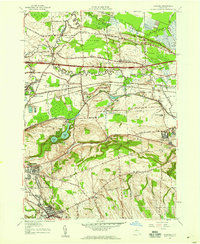
Editions of this 1957 Manlius Map
2 editions found
Other maps of this area

1895 · Chittenango
USGS Topo · 1:62,500

1895 · Syracuse
USGS Topo · 1:62,500

1897 · Cazenovia
USGS Topo · 1:62,500

1898 · Syracuse
USGS Topo · 1:62,500

1898 · Chittenango
USGS Topo · 1:62,500

1899 · Cazenovia
USGS Topo · 1:62,500

1900 · Tully
USGS Topo · 1:62,500

1902 · Chittenango
USGS Topo · 1:62,500

1938 · Syracuse East
USGS Topo · 1:24,000

1940 · Cicero
USGS Topo · 1:24,000