
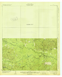
1932 Map of Manning
USGS Topo · Published 1932About this map
The Neches River defines the landscape of this East Texas survey, marking the boundary where Angelina Co, Polk Co, and Tyler Co meet. The 1932 edition reveals a remote riverine economy shaped by the Waco Beaumont Trinity and Sabine Railway, which cuts through the southern terrain to serve the settlement at Pluck PO. This area is dense with family-named landmarks and essential rural institutions, from the Havard Cem to the Seaman Ridge Sch and Belview Sch.
Find a feature on this map
43 named features on this map. Tap any name to fly to it.
Don’t see what you’re looking for? This feature index may not catch every label — zoom into the map to look around manually.
Map Details
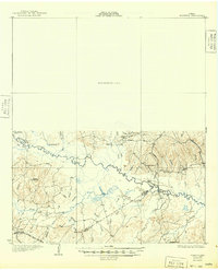
Editions of this 1932 Manning Map
Other maps of this area

1927 · Lufkin 4-c
USGS Topo · 1:24,000

1928 · Zavalla 3-c
USGS Topo · 1:24,000

1928 · Lufkin 4-d
USGS Topo · 1:24,000

1931 · Zavalla
USGS Topo · 1:62,500

1949 · Lufkin
USGS Topo · 1:62,500

1949 · Lufkin
USGS Topo · 1:24,000

1949 · Huntington
USGS Topo · 1:24,000

1949 · Keltys
USGS Topo · 1:24,000

1950 · Keltys
USGS Topo · 1:24,000

1950 · Lufkin
USGS Topo · 1:24,000