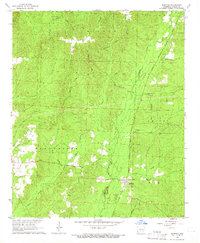
1965 Map of Manning
USGS Topo · Published 1966About this map
The Chicago Rock Island and Pacific railroad forms the primary corridor through this Dallas County landscape, connecting the small community of Manning to the broader regional network. The mid-1960s terrain is heavily wooded, defined by the winding paths of Cypress Creek and Mill Creek, and marked by several family-named trails like the Chandler Trail and Hunter Trail. Local heritage is anchored by several rural landmarks, including Cypress Ch and the Chapel Cemetery near Caldwell Chapel. The map reveals an economy tied to both the land and rail, with numerous Gravel Pits scattered across the Manchester and Smith townships, alongside a complex system of drainage branches like Beach Branch and Black Branch.
Find a feature on this map
27 named features on this map. Tap any name to fly to it.
Don’t see what you’re looking for? This feature index may not catch every label — zoom into the map to look around manually.
Map Details
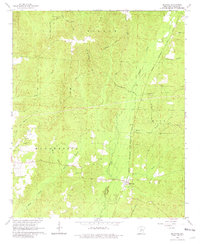
Editions of this 1965 Manning Map
2 editions found
Other maps of this area

1903 · Camden
USGS Topo · 1:125,000

1953 · El Dorado
USGS Topo · 1:250,000

1955 · Little Rock
USGS Topo · 1:250,000

1956 · Little Rock
USGS Topo · 1:250,000

1957 · El Dorado
USGS Topo · 1:250,000

1958 · El Dorado
USGS Topo · 1:250,000

1960 · El Dorado
USGS Topo · 1:250,000

1960 · Little Rock
USGS Topo · 1:250,000

1964 · Little Rock
USGS Topo · 1:250,000

1964 · Donaldson
USGS Topo · 1:24,000