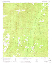
1965 Map of Manning
USGS Topo · Published 1981About this map
Manning serves as the primary rail hub on this 1960s survey, positioned where the Chicago Rock Island and Pacific railroad cuts through the timberlands of Dallas County. The landscape is defined by an intricate network of named drainage systems, including Mill Creek, Cypress Creek, and Casa Massa Creek, alongside numerous unnamed tributaries that drain the townships of Willow, Manchester, Smith, and Nix.
Find a feature on this map
27 named features on this map. Tap any name to fly to it.
Don’t see what you’re looking for? This feature index may not catch every label — zoom into the map to look around manually.
Map Details
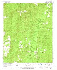
Editions of this 1965 Manning Map
2 editions found
Other maps of this area

1903 · Camden
USGS Topo · 1:125,000

1953 · El Dorado
USGS Topo · 1:250,000

1955 · Little Rock
USGS Topo · 1:250,000

1956 · Little Rock
USGS Topo · 1:250,000

1957 · El Dorado
USGS Topo · 1:250,000

1958 · El Dorado
USGS Topo · 1:250,000

1960 · El Dorado
USGS Topo · 1:250,000

1960 · Little Rock
USGS Topo · 1:250,000

1964 · Little Rock
USGS Topo · 1:250,000

1964 · Donaldson
USGS Topo · 1:24,000