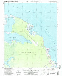
2002 Map of Manns Harbor
USGS Topo · Published 2002About this map
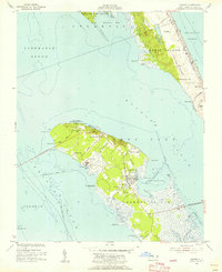
Albemarle Sound and Croatan Sound dominate this coastal landscape, where the waters of the Alligator River National Wildlife Refuge meet the Dare County mainland. The map documents the transition of the marshy interior into the established settlement of Manns Harbor, a community deeply tied to the surrounding sounds. Along the eastern shore, the Ferry Route indicates the historical maritime connections across the sound before modern bridge infrastructure became the primary link.
Find a feature on this map
33 named features on this map. Tap any name to fly to it.
Don’t see what you’re looking for? This feature index may not catch every label — zoom into the map to look around manually.
Map Details
Editions of this 2002 Manns Harbor Map
This is the sole edition of this map. No revisions or reprints were ever made.
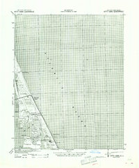
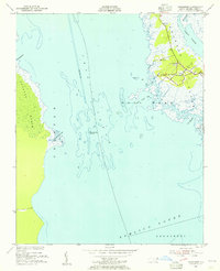
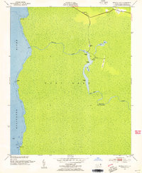
Other maps of this area
1940 · Kitty Hawk
USGS Topo · 1:62,500

1940 · Powells Point
USGS Topo · 1:62,500

1943 · Roanoke Island
USGS Topo · 1:125,000

1946 · Eastville
USGS Topo · 1:250,000

1946 · Currituck Sound
USGS Topo · 1:250,000
1953 · Wanchese
USGS Topo · 1:24,000
1953 · Buffalo City
USGS Topo · 1:24,000
1953 · Manteo
USGS Topo · 1:24,000
1953 · East Lake SE
USGS Topo · 1:24,000
1953 · Manns Harbor
USGS Topo · 1:24,000