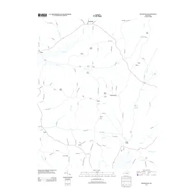
2013 Map of Mannsville
USGS Topo · Published 2013About this map
Mannsville sits at the northern edge of this Adair County landscape, where the terrain is defined by a series of prominent elevations including Gaddis Ridge, Bass Ridge, and Hovious Ridge. The map reveals a rural settlement pattern characterized by numerous family and community burial grounds, such as Christie Chapel Cem and Jones Chapel Cem, which are often located near the winding headwaters of Stoner Cr and Casey Cr. Small hamlets like Speck and Feathersburg serve as local crossroads within a network of ridges and hollows. The drainage systems, including Robinson Cr and Mill Cr, dictate the placement of roads and homesteads, illustrating how the natural topography has historically shaped development in this portion of south-central Kentucky.
Find a feature on this map
103 named features on this map. Tap any name to fly to it.
Don’t see what you’re looking for? This feature index may not catch every label — zoom into the map to look around manually.
Map Details
Editions of this 2013 Mannsville Map
This is the sole edition of this map. No revisions or reprints were ever made.
Other maps of this area

1952 · Clementsville
USGS Topo · 1:24,000

1952 · Mannsville
USGS Topo · 1:24,000

1952 · Bradfordsville
USGS Topo · 1:24,000

1953 · Campbellsville
USGS Topo · 1:24,000

1953 · Bradfordsville NE
USGS Topo · 1:24,000

1953 · Spurlington
USGS Topo · 1:24,000

1953 · Dunnville
USGS Topo · 1:24,000

1953 · Cane Valley
USGS Topo · 1:24,000

1953 · Bradfordsville
USGS Topo · 1:24,000

1954 · Knifley
USGS Topo · 1:24,000