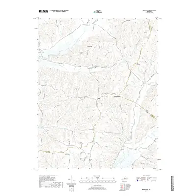
2019 Map of Mannsville
USGS Topo · Published 2019About this map
Mannsville sits at the northern edge of this central Kentucky landscape, where the headwaters of Robinson Creek and Stoner Creek carve through a network of high ridges. The area is defined by its deep genealogical footprint, with numerous family-named landmarks and cemeteries scattered across the terrain. Key burial sites such as the Stayton Cemetery, Simpson Cemetery, and Goode Cemetery are connected by a winding series of ridge roads and hollow paths.
Find a feature on this map
80 named features on this map. Tap any name to fly to it.
Don’t see what you’re looking for? This feature index may not catch every label — zoom into the map to look around manually.
Map Details
Editions of this 2019 Mannsville Map
This is the sole edition of this map. No revisions or reprints were ever made.
Other maps of this area

1952 · Clementsville
USGS Topo · 1:24,000

1952 · Mannsville
USGS Topo · 1:24,000

1952 · Bradfordsville
USGS Topo · 1:24,000

1953 · Campbellsville
USGS Topo · 1:24,000

1953 · Bradfordsville NE
USGS Topo · 1:24,000

1953 · Spurlington
USGS Topo · 1:24,000

1953 · Dunnville
USGS Topo · 1:24,000

1953 · Cane Valley
USGS Topo · 1:24,000

1953 · Bradfordsville
USGS Topo · 1:24,000

1954 · Knifley
USGS Topo · 1:24,000