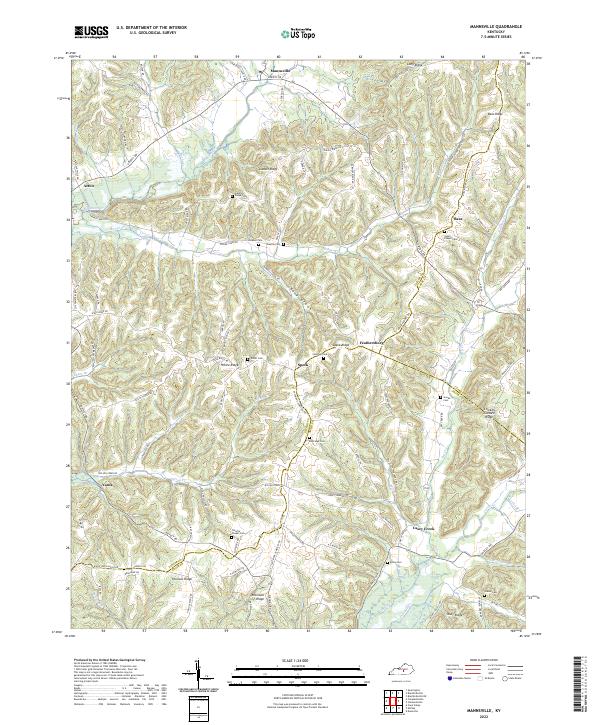
2022 Map of Mannsville
USGS Topo · Published 2022About this map
Mannsville sits at the northern edge of this Taylor County landscape, where the terrain is defined by a dense network of ridges and narrow creek valleys. The geography here is marked by prominent high ground like Gaddis Ridge and Long Ridge, which separate the various branches of Stoner Cr and Wilson Cr. This area is characterized by small, dispersed settlements such as Acton, Bass, and Feathersburg, often linked by winding ridge-top roads like Speck Ridge Rd and Elliott Ridge Rd.
Find a feature on this map
79 named features on this map. Tap any name to fly to it.
Don’t see what you’re looking for? This feature index may not catch every label — zoom into the map to look around manually.
Map Details
Editions of this 2022 Mannsville Map
This is the sole edition of this map. No revisions or reprints were ever made.
Other maps of this area
1952 · Clementsville
USGS Topo · 1:24,000
1952 · Mannsville
USGS Topo · 1:24,000
1952 · Bradfordsville
USGS Topo · 1:24,000
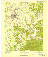
1953 · Campbellsville
USGS Topo · 1:24,000
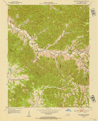
1953 · Bradfordsville NE
USGS Topo · 1:24,000
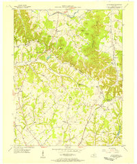
1953 · Spurlington
USGS Topo · 1:24,000
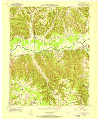
1953 · Dunnville
USGS Topo · 1:24,000
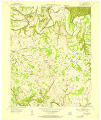
1953 · Cane Valley
USGS Topo · 1:24,000
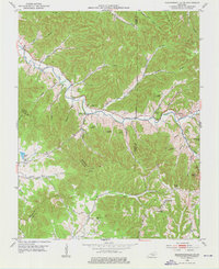
1953 · Bradfordsville
USGS Topo · 1:24,000
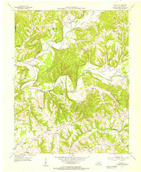
1954 · Knifley
USGS Topo · 1:24,000