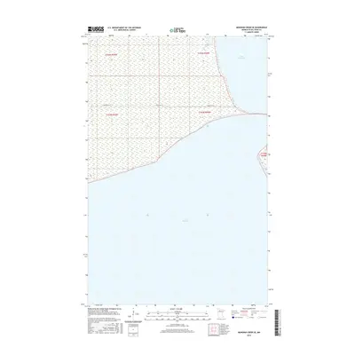
2016 Map of Manomin Creek SE
USGS Topo · Published 2016About this map
Lower Red Lake dominates the southern expanse of this northern Minnesota landscape, where the waters of the Red Lake Reservation meet the extensive marshlands of the north. The boundary between the massive Upper Red Lake and its lower counterpart is clearly defined, with Resvn Hwy 27 providing the primary transit corridor across the low-lying terrain. This 2016 survey illustrates a largely uninhabited wilderness where the public land survey system divisions of t154n r35w, t154n r34w, t153n r35w, and t153n r34w organize the vast wetlands. The map is a critical reference for understanding the shoreline geography and hydrological structure of one of the state's most significant inland water systems within the tribal lands of the Red Lake Band of Chippewa Indians.
Find a feature on this map
7 named features on this map. Tap any name to fly to it.
Don’t see what you’re looking for? This feature index may not catch every label — zoom into the map to look around manually.
Map Details
Editions of this 2016 Manomin Creek SE Map
This is the sole edition of this map. No revisions or reprints were ever made.
Other maps of this area

1919 · Ponemah
USGS Topo · 1:62,500

1943 · Ponemah
USGS Topo · 1:62,500

1954 · Bemidji
USGS Topo · 1:250,000

1954 · Roseau
USGS Topo · 1:250,000

1957 · Roseau
USGS Topo · 1:250,000

1957 · Bemidji
USGS Topo · 1:250,000

1958 · Bemidji
USGS Topo · 1:250,000

1958 · Roseau
USGS Topo · 1:250,000

1973 · Manomin Creek SE
USGS Topo · 1:24,000

1973 · Mosquito Creek
USGS Topo · 1:24,000