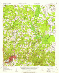
1957 Map of Mansfield
USGS Topo · Published 1958About this map
Mansfield serves as the regional hub in this mid-century survey of De Soto Parish, where the intersection of the Kansas City Southern and Texas and Pacific railroads defines the local commerce. The landscape is characterized by a complex network of waterways, including Clear Lake and Smithport Lake, which are bordered by extensive marshlands and numerous bayous like Bayou Pierre and Grand Bayou. To the south of the main settlement, the Mansfield Battle Memorial Park preserves the grounds of a significant Civil War engagement.
Find a feature on this map
76 named features on this map. Tap any name to fly to it.
Don’t see what you’re looking for? This feature index may not catch every label — zoom into the map to look around manually.
Map Details
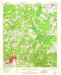
Editions of this 1957 Mansfield Map
2 editions found
Other maps of this area

1938 · Chemard Lake
USGS Topo · 1:31,680

1941 · East Point
USGS Topo · 1:31,680

1941 · Bossier Point
USGS Topo · 1:31,680

1941 · Pelican
USGS Topo · 1:62,500

1943 · Pleasant Hill
USGS Topo · 1:62,500

1944 · Logansport
USGS Topo · 1:62,500

1944 · Pleasant Hill
USGS Topo · 1:62,500

1945 · Grand Cane
USGS Topo · 1:62,500

1945 · Greenwood
USGS Topo · 1:62,500

1945 · Mansfield
USGS Topo · 1:62,500