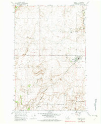
1968 Map of Mansfield
USGS Topo · Published 1982About this map
Mansfield serves as the focal point of this Douglas County landscape, where the Burlington Northern railroad lines connect local agricultural operations to the wider region. The economy of the late 1960s is clearly visible through the numerous Grain Elevators and a Grain Elevator located further south at Touhey. This area is defined by its wide, rolling plateaus punctuated by distinct geological markers like Lone Butte and the rising profile of Burke Hill.
Find a feature on this map
25 named features on this map. Tap any name to fly to it.
Don’t see what you’re looking for? This feature index may not catch every label — zoom into the map to look around manually.
Map Details
Editions of this 1968 Mansfield Map
2 editions found
Other maps of this area

1953 · Ritzville
USGS Topo · 1:250,000

1959 · Ritzville
USGS Topo · 1:250,000

1965 · Ritzville
USGS Topo · 1:250,000

1965 · Jameson Lake West
USGS Topo · 1:24,000

1965 · Jameson Lake East
USGS Topo · 1:24,000

1968 · Withrow
USGS Topo · 1:24,000

1968 · Chief Joseph Dam
USGS Topo · 1:24,000

1968 · Wells Dam
USGS Topo · 1:24,000

1968 · Coleman Hill
USGS Topo · 1:24,000
1968 · Mud Spring
USGS Topo · 1:24,000