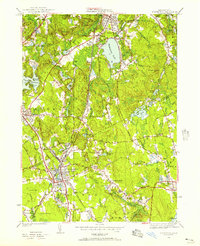
1946 Map of Mansfield
USGS Topo · Published 1957About this map
Mansfield and Sharon serve as the primary hubs in this mid-century look at the Norfolk and Bristol County borderlands. The industrial and educational roots of the region are clearly visible through landmarks like Sacred Heart College and the remnants of water-powered industry at Hammer Shop Pond and Blue Factory Pond. The New York New Haven and Hartford railroad cuts a sharp line through the territory, intersecting at Mansfield where the rail-and-river network supported a growing local economy. Significant natural features like Massapoag Lake and the elevations of Moose Hill and Rattlesnake Hill define the terrain, while smaller pockets like Furnace Village Easton PO and Ginty Corner highlight the local settlement patterns of the era.
Find a feature on this map
83 named features on this map. Tap any name to fly to it.
Don’t see what you’re looking for? This feature index may not catch every label — zoom into the map to look around manually.
Map Details
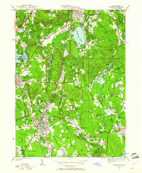
Editions of this 1946 Mansfield Map
2 editions found
Other maps of this area

1885 · Taunton
USGS Topo · 1:62,500

1886 · Dedham
USGS Topo · 1:62,500

1887 · Franklin
USGS Topo · 1:62,500

1887 · Providence
USGS Topo · 1:62,500

1888 · Taunton
USGS Topo · 1:62,500

1889 · Providence
USGS Topo · 1:62,500

1889 · Franklin
USGS Topo · 1:62,500

1893 · Taunton
USGS Topo · 1:62,500

1893 · Franklin
USGS Topo · 1:62,500

1894 · Dedham
USGS Topo · 1:62,500