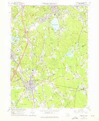
1964 Map of Mansfield
USGS Topo · Published 1976About this map
Massapoag Lake dominates the northern landscape of this Massachusetts interior, anchoring the town of Sharon. The area's mid-century character is defined by a blend of institutional grounds and emerging infrastructure, featuring Sacred Heart College, St Francis Retreat, and the Municipal Airport near the Great Woods. The transportation network is deeply etched into the terrain, with the Boston - Providence RR and the New York New Haven and Hartford lines facilitating movement through Mansfield and Foxboro.
Find a feature on this map
109 named features on this map. Tap any name to fly to it.
Don’t see what you’re looking for? This feature index may not catch every label — zoom into the map to look around manually.
Map Details
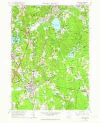
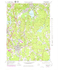
Editions of this 1964 Mansfield Map
Other maps of this area

1885 · Taunton
USGS Topo · 1:62,500

1886 · Dedham
USGS Topo · 1:62,500

1887 · Franklin
USGS Topo · 1:62,500

1887 · Providence
USGS Topo · 1:62,500

1888 · Taunton
USGS Topo · 1:62,500

1889 · Providence
USGS Topo · 1:62,500

1889 · Franklin
USGS Topo · 1:62,500

1893 · Taunton
USGS Topo · 1:62,500

1893 · Franklin
USGS Topo · 1:62,500

1894 · Dedham
USGS Topo · 1:62,500