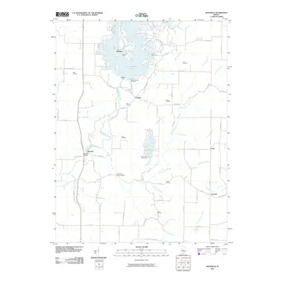
2010 Map of Mansfield
USGS Topo · Published 2010About this map
Mansfield Bridge and the Rocky Fork Covered Bridge anchor this corner of Indiana, where a network of watercourses feeds into the prominent Cecil M Harden Lake. The landscape is defined by the flow of Big Raccoon Creek and Rocky Fork Creek, which eventually reach the Cecil M Harden Lake Dam. Small settlements like Ferndale, Vivalia, and Keytsville dot the grid of country roads, representing the enduring rural character of the region.
Find a feature on this map
51 named features on this map. Tap any name to fly to it.
Don’t see what you’re looking for? This feature index may not catch every label — zoom into the map to look around manually.
Map Details
Editions of this 2010 Mansfield Map
This is the sole edition of this map. No revisions or reprints were ever made.
Other maps of this area

1950 · Brazil East
USGS Topo · 1:24,000

1950 · Brazil West
USGS Topo · 1:24,000

1951 · Clinton Falls
USGS Topo · 1:24,000

1951 · Mansfield
USGS Topo · 1:24,000

1952 · Catlin
USGS Topo · 1:24,000

1952 · Reelsville
USGS Topo · 1:24,000

1953 · Indianapolis
USGS Topo · 1:250,000

1955 · Rockville
USGS Topo · 1:24,000

1955 · Russellville
USGS Topo · 1:24,000

1956 · Indianapolis
USGS Topo · 1:250,000