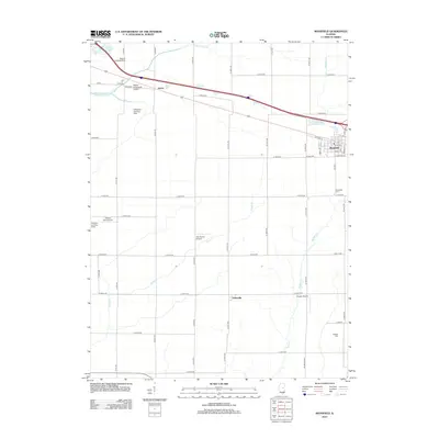
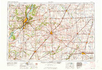
2012 Map of Mansfield
USGS Topo · Published 2012About this map
The agricultural landscape of DeWitt County is defined by a rigorous grid of section roads and a surprising density of private aviation sites. Mansfield serves as the primary settlement, situated at the intersection of a rail-aligned corridor and major thoroughfares like W State St and N McKinley St. The village is anchored by local landmarks such as Mansfield Cem, while the smaller community of Galesville and the point of Harris mark the peripheral transition into broad farm acreage.
Find a feature on this map
52 named features on this map. Tap any name to fly to it.
Don’t see what you’re looking for? This feature index may not catch every label — zoom into the map to look around manually.
Map Details
Editions of this 2012 Mansfield Map
This is the sole edition of this map. No revisions or reprints were ever made.
Other maps of this area
1907 · Mahomet
USGS Topo · 1:62,500
1928 · Gibson City
USGS Topo · 1:62,500
1937 · Monticello
USGS Topo · 1:48,000
1943 · Monticello
USGS Topo · 1:62,500
1952 · Arrowsmith
USGS Topo · 1:62,500
1957 · Gibson City
USGS Topo · 1:62,500
1957 · Mahomet
USGS Topo · 1:62,500

1958 · Peoria
USGS Topo · 1:250,000

1961 · Peoria
USGS Topo · 1:250,000
1963 · Peoria
USGS Topo · 1:250,000