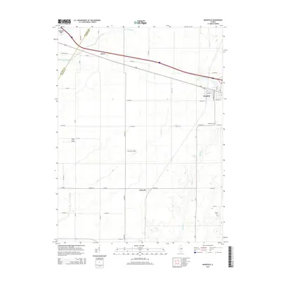
2015 Map of Mansfield
USGS Topo · Published 2015About this map
The boundary between De Witt and Piatt Counties divides a fertile agricultural landscape defined by the drainage of Trenkle Slough, Goose Creek, and Madden Creek. In the northwest, the settlement of Farmer City sits near the banks of Salt Creek, while the town of Mansfield serves as a primary hub to the east. The map illustrates a grid-like development pattern typical of the Illinois plains, where small communities like Harris and Galesville are linked by a network of county roads and early 21st-century infrastructure. Local aviation is represented by two private facilities, Niklaus RLA Airport and Van Gorder Airport, while the area's heritage is preserved at Mansfield Cemetery and the more remote Mackey Cemetery. The layout highlights how transit and water management have shaped this central Illinois farming corridor.
Find a feature on this map
41 named features on this map. Tap any name to fly to it.
Don’t see what you’re looking for? This feature index may not catch every label — zoom into the map to look around manually.
Map Details
Editions of this 2015 Mansfield Map
This is the sole edition of this map. No revisions or reprints were ever made.
Other maps of this area

1907 · Mahomet
USGS Topo · 1:62,500

1928 · Gibson City
USGS Topo · 1:62,500

1937 · Monticello
USGS Topo · 1:48,000

1943 · Monticello
USGS Topo · 1:62,500

1952 · Arrowsmith
USGS Topo · 1:62,500

1957 · Gibson City
USGS Topo · 1:62,500

1957 · Mahomet
USGS Topo · 1:62,500

1958 · Peoria
USGS Topo · 1:250,000

1961 · Peoria
USGS Topo · 1:250,000

1963 · Peoria
USGS Topo · 1:250,000