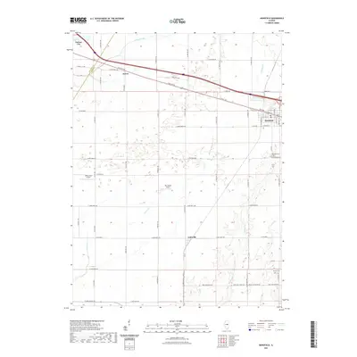
2021 Map of Mansfield
USGS Topo · Published 2021About this map
The boundary between De Witt County and Piatt County divides this agricultural landscape of central Illinois, where the village of Mansfield serves as a local hub. The terrain is defined by its drainage network, including the slow-moving Salt Creek and Trenkle Slough in the northwest, and Goose Creek winding southward toward the settlement of Galesville. Transportation is anchored by the corridor of Old US 150 and Route 150, which connect Mansfield to Harris and Farmer City. This area maintains a strong rural character with specialized aviation facilities like Van Gorder Airport and Niklaus RLA Airport positioned among the fields. Genealogists and local historians can find established burial grounds including Mansfield Cemetery near the village and the more isolated Mackey Cemetery to the southeast, both of which anchor the long-settled farming families of these two counties.
Find a feature on this map
48 named features on this map. Tap any name to fly to it.
Don’t see what you’re looking for? This feature index may not catch every label — zoom into the map to look around manually.
Map Details
Editions of this 2021 Mansfield Map
This is the sole edition of this map. No revisions or reprints were ever made.
Other maps of this area

1907 · Mahomet
USGS Topo · 1:62,500

1928 · Gibson City
USGS Topo · 1:62,500

1937 · Monticello
USGS Topo · 1:48,000

1943 · Monticello
USGS Topo · 1:62,500

1952 · Arrowsmith
USGS Topo · 1:62,500

1957 · Gibson City
USGS Topo · 1:62,500

1957 · Mahomet
USGS Topo · 1:62,500

1958 · Peoria
USGS Topo · 1:250,000

1961 · Peoria
USGS Topo · 1:250,000

1963 · Peoria
USGS Topo · 1:250,000