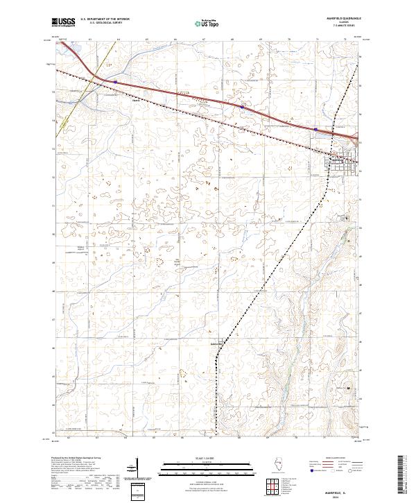
2024 Map of Mansfield
USGS Topo · Published 2024About this map
Mansfield serves as the primary hub in this eastern Piatt County landscape, where the grid of rural roads meets the diagonal path of Rte 150 and E Old US 150. The town's structured street plan, including N Main St and Liberty St, contrasts with the surrounding agricultural expanse defined by slow-moving watercourses like Madden Creek and Goose Creek. To the west, the small settlements of Harris and Galesville anchor the intersections of a strictly surveyed township grid, reflecting the region's long-standing commitment to organized land use.
Find a feature on this map
54 named features on this map. Tap any name to fly to it.
Don’t see what you’re looking for? This feature index may not catch every label — zoom into the map to look around manually.
Map Details
Editions of this 2024 Mansfield Map
This is the sole edition of this map. No revisions or reprints were ever made.
Other maps of this area

1907 · Mahomet
USGS Topo · 1:62,500

1928 · Gibson City
USGS Topo · 1:62,500

1937 · Monticello
USGS Topo · 1:48,000

1943 · Monticello
USGS Topo · 1:62,500

1952 · Arrowsmith
USGS Topo · 1:62,500

1957 · Gibson City
USGS Topo · 1:62,500

1957 · Mahomet
USGS Topo · 1:62,500

1958 · Peoria
USGS Topo · 1:250,000

1961 · Peoria
USGS Topo · 1:250,000

1963 · Peoria
USGS Topo · 1:250,000