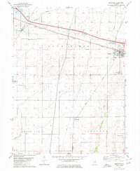
1979 Map of Mansfield
USGS Topo · Published 1980About this map
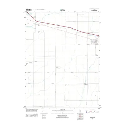
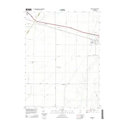
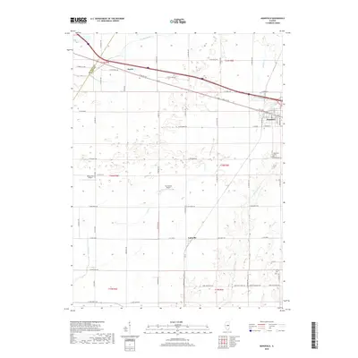
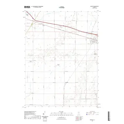
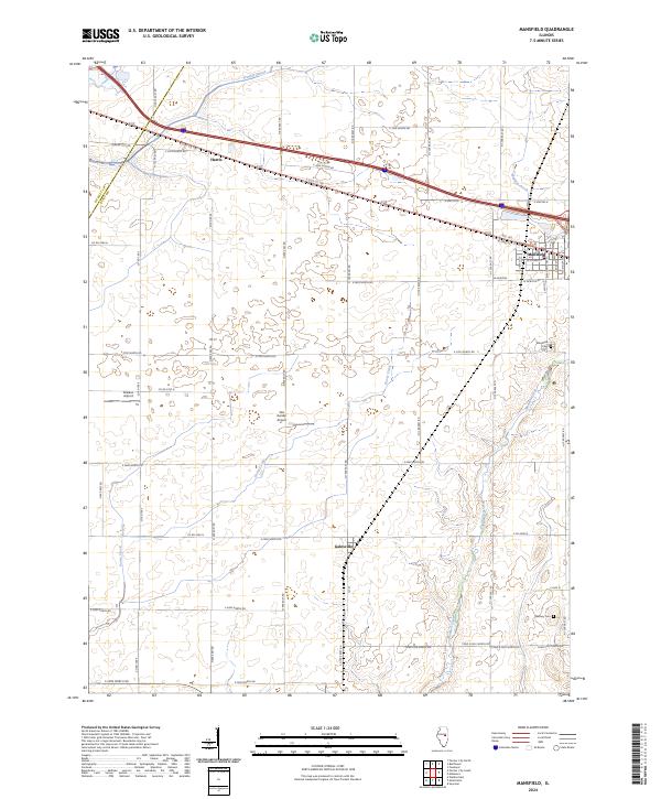
Mansfield serves as a central hub on this Central Illinois landscape, where the Conrail and Norfolk and Western railroads intersect. The town's layout is meticulously detailed, showing its grid and the proximity of the Mansfield Cem. To the west and south, smaller settlements like Galesville and Harris provide context for the rural development of the late 1970s. The region is marked by an unusual concentration of private aviation infrastructure, including the Spence Landing Strip, Ashworth Landing Strip, and Niklaus Landing Strip, indicating the importance of aerial access in this agricultural corridor.
Find a feature on this map
22 named features on this map. Tap any name to fly to it.
Don’t see what you’re looking for? This feature index may not catch every label — zoom into the map to look around manually.
Map Details
Editions of this 1979 Mansfield Map
This is the sole edition of this map. No revisions or reprints were ever made.
Historical Maps of Farmer City Through Time
6 maps found