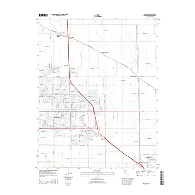
2015 Map of Manteca
USGS Topo · Published 2015About this map
Manteca serves as the focal point of this San Joaquin County landscape, showing the city's modern footprint alongside older agricultural foundations. The corridor following S Ca-99 facilitates much of the region's movement, linking the city to smaller outlying locales such as Calla, Turner, and Bardi. These names often reflect earlier rail and freight milestones in the Central Valley’s development. To the north, the geography is defined by more dispersed settlements like Summer Home and Five Corners, where the landscape transitions into the systematic grids of T1S R7E and T1S R8E. Local history is anchored at Park View Cemetery and Union Memorial Cemetery, while the natural drainage of Lone Tree Cr cuts through the surveyed sections. In the southeast corner, the outskirts of Ripon begin to appear, demonstrating the close proximity of these valley communities along the primary transit arteries.
Find a feature on this map
171 named features on this map. Tap any name to fly to it.
Don’t see what you’re looking for? This feature index may not catch every label — zoom into the map to look around manually.
Map Details
Editions of this 2015 Manteca Map
This is the sole edition of this map. No revisions or reprints were ever made.
Other maps of this area

1913 · Stockton
USGS Topo · 1:31,680

1914 · Burnham
USGS Topo · 1:31,680

1914 · Manteca
USGS Topo · 1:31,680

1914 · Avena
USGS Topo · 1:31,680

1915 · Vernalis
USGS Topo · 1:31,680

1915 · Lathrop
USGS Topo · 1:31,680

1915 · Ripon
USGS Topo · 1:31,680

1915 · Peters
USGS Topo · 1:31,680

1915 · Salida
USGS Topo · 1:31,680

1922 · Carbona
USGS Topo · 1:62,500