
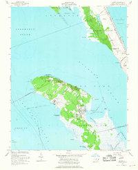
1953 Map of Manteo
USGS Topo · Published 1956About this map
Roanoke Island is the centerpiece of this mid-century coastal survey, situated between the Croatan Sound and Roanoke Sound. The map documents a critical period of historical preservation and modern infrastructure development, featuring the Fort Raleigh National Historic Site and the Burnside Headquarters. Local life is anchored in Manteo and smaller settlements like Sunny Side and Skyco.
Find a feature on this map
62 named features on this map. Tap any name to fly to it.
Don’t see what you’re looking for? This feature index may not catch every label — zoom into the map to look around manually.
Map Details
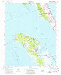
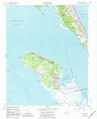
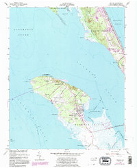
Editions of this 1953 Manteo Map
5 editions found
Other maps of this area

1940 · Kitty Hawk
USGS Topo · 1:62,500

1940 · Powells Point
USGS Topo · 1:62,500

1943 · Roanoke Island
USGS Topo · 1:125,000

1946 · Eastville
USGS Topo · 1:250,000

1946 · Currituck Sound
USGS Topo · 1:250,000

1953 · Wanchese
USGS Topo · 1:24,000

1953 · Roanoke Island NE
USGS Topo · 1:24,000

1953 · East Lake SE
USGS Topo · 1:24,000

1953 · Manns Harbor
USGS Topo · 1:24,000

1955 · Wanchese
USGS Topo · 1:250,000